Home / Commercial Roofing Services / Drone Roof Inspection
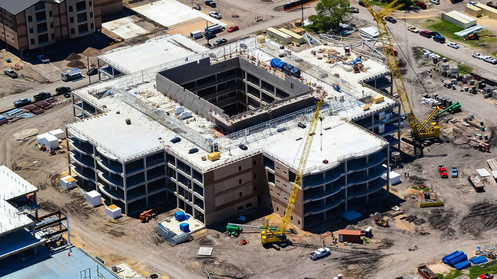
Send a roof plan, site rules, access limits, and the areas that need review. We will confirm whether drone imagery can answer the question and identify any hands-on verification needed afterward.
We first confirm the property boundary, roof height, nearby obstacles, site rules, and the question the imagery should answer. A broad survey may need a consistent grid; a suspected edge defect may call for close views from several directions. We coordinate the flight window with the facility contact so loading, deliveries, customer entrances, and rooftop operations are not surprised by the visit.
Drone work depends on safe weather and a clear operating area. Wind, precipitation, glare, and low visibility can reduce image quality or prevent a flight. We reschedule when conditions make the planned coverage unreliable. Nearby Detroit climate normals show seasonal snowfall and temperature range; use them to plan visibility and access, then verify site conditions during inspection. We check the actual forecast and surface before deciding whether to fly.
Where flight access is limited, we plan from approved ground positions or use a hands-on roof inspection instead. Aerial coverage is a way to gather context, not a reason to bypass access controls or fall-protection requirements.
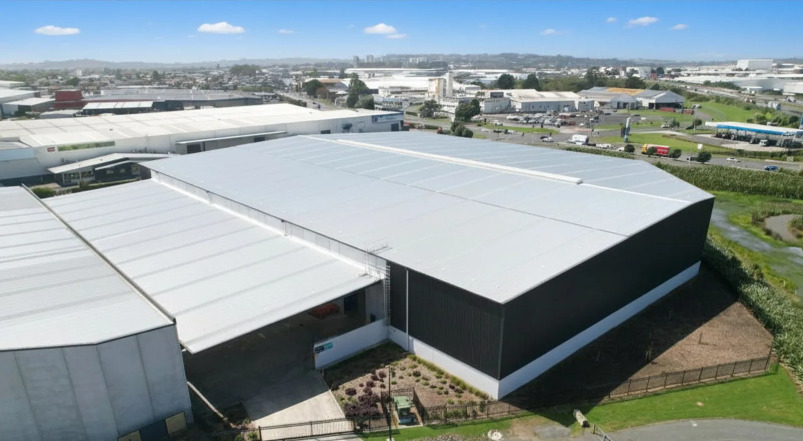
We capture overlapping views that make it possible to locate a feature against roof edges, parapets, drains, and equipment. The image set can show the overall layout, recurring ponding marks, patches, displaced materials, rooftop units, and transitions between roof sections. Close images can help a reviewer identify a seam or flashing detail that merits a closer visit.
Each image set is organized by roof area and capture date. We note portions blocked by trees, adjacent structures, equipment, glare, or standing water. If an image cannot resolve a detail, the report says so rather than treating a blurred shape as a confirmed defect. A large complex may be divided into roof zones so a facilities team can match an observation to a hatch, stair tower, or equipment group.
At a commercial property near the Golden Corridor, storefront access and customer circulation may shape the flight plan. At a facility in the Mound corridor, controlled yards and production schedules can be more important. The named districts are planning context only; every flight is arranged with the individual owner or site manager.
Aerial imagery can reveal patterns that are hard to see from a hatch: a line of recurring water marks, a patch that crosses a roof zone, or debris collecting along an edge. Those patterns help prioritize where to walk. They do not prove that a membrane is leaking, that insulation is wet, or that a roof needs replacement. We compare the images with interior reports, repair history, roof plans, and visible conditions.
Color differences can come from moisture, dirt, shade, surface aging, or a change in material. Perspective can also distort distances. We use image location and surrounding details to narrow the inspection area, then verify a decision-critical condition on the roof whenever access allows. If the property has no safe roof access, we clearly mark the limitation and explain what the imagery can and cannot support.
For a complete condition record, aerial views can accompany roof condition reports. The report connects each photo to a roof zone, observation, confidence level, and next step instead of leaving the reader to interpret isolated images.
After image review, we identify whether a hands-on visit, moisture test, or repair assessment is warranted. A suspected open lap may be checked at the seam. A recurring ponding pattern may call for drain and slope review. An apparent puncture near equipment may require a closer look at the service path and surrounding membrane. The verification method follows the question; not every mark needs a test cut.
Where the roof assembly is accessible, our inspector checks the reported area and nearby transitions. If a moisture question remains across a broad field, an infrared moisture survey may help target test locations, with core cuts used to confirm readings when appropriate. We explain where a scan is useful and where its limits apply.
A verified, localized defect may lead to commercial roof repair. If water is actively entering, the next step may be commercial roof leak repair. We keep the inspection record and repair scope linked so the property team can compare the original image, confirmed detail, and completed work.
The deliverable can include a dated roof overview, selected close images, a zone map, notes on areas not visible, and a short list of recommended verification steps. We distinguish image observations from confirmed roof conditions. If a location needs a site visit, the report identifies the area and the reason, such as an obscured drain, uncertain seam, or recurring water mark.
For portfolios, repeatable image organization can make changes easier to compare over time. A later flight can use similar boundaries and reference points, but lighting and weather can affect apparent color and surface texture. We avoid treating two differently captured images as a measured change unless capture conditions and scale support that conclusion. A maintenance plan can incorporate recurring reviews through preventive roof maintenance.
Send the roof plan if available, known leak areas, roof access rules, site restrictions, and the decision the images need to support. We will propose a flight and follow-up scope suited to the property, then deliver findings that make the next inspection or repair decision easier to evaluate.
Aerial images can help locate visible patterns and focus a closer inspection, but they do not confirm a leak path or hidden moisture by themselves.
When safe access is available, we verify important seams, drains, flashing, and suspected defects on the roof. Images help guide that work.
Wind, rain, poor visibility, site restrictions, nearby obstacles, or an unsafe operating area can limit coverage. We reschedule or propose another inspection method.
No. Aerial photography records visible surface information. An infrared survey may help target testing, and an approved core cut can verify assembly conditions.
Share roof plans, access and flight restrictions, operating hours, known leak areas, and the question the image set needs to answer.
Send a roof plan, site rules, access limits, and the areas that need review. We will confirm whether drone imagery can answer the question and identify any hands-on verification needed afterward.